


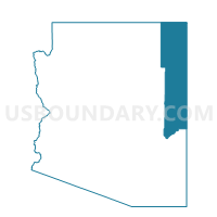
Nutrioso Voting District, Apache County, Arizona
About
Outline

Summary
| Unique Area Identifier | 523614 |
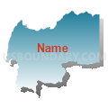
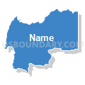
| Name | Nutrioso Voting District |
| County | Apache County |
| State | Arizona |
| Area (square miles) | 160.38 |
| Land Area (square miles) | 159.97 |
| Water Area (square miles) | 0.41 |
| % of Land Area | 99.74 |
| % of Water Area | 0.26 |
| Latitude of the Internal Point | 33.96883950 |
| Longtitude of the Internal Point | -109.18064930 |
Maps


Graphs
Select a template below for downloading or customizing gragh for Nutrioso Voting District, Apache County, Arizona


Neighbors
Neighoring Voting District (by Name) Neighboring Voting District on the Map
- Alpine Voting District, Apache County, AZ
- Catron County Precinct 2, Catron County, NM
- Catron County Precinct 6, Catron County, NM
- Eagar Voting District, Apache County, AZ
- Flat Top Voting District, Apache County, AZ
Top 10 Neighboring County Subdivision (by Population) Neighboring County Subdivision on the Map
- Eagar-Springerville CCD, Apache County, AZ (8,802)
- Quemado CCD, Catron County, NM (1,923)
- Reserve CCD, Catron County, NM (1,802)